


 5,589 reviews

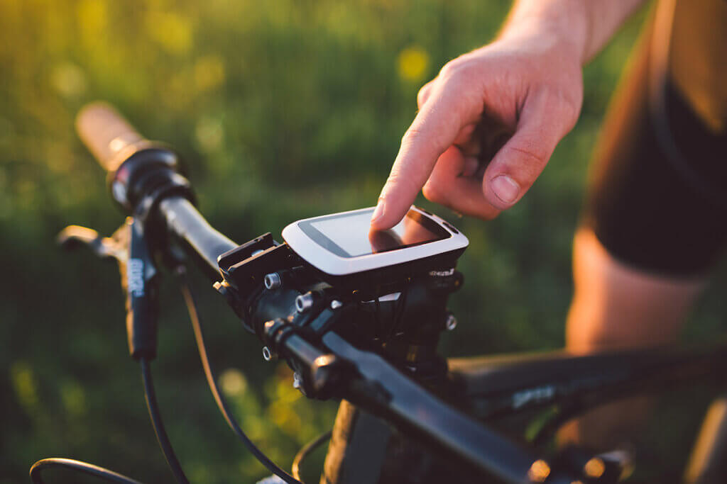
GPS bike computer purchasing advice: how to choose the right product
- What You Need to Know
- GPS bike computers can not only show the way from A to B, but also plan tours.
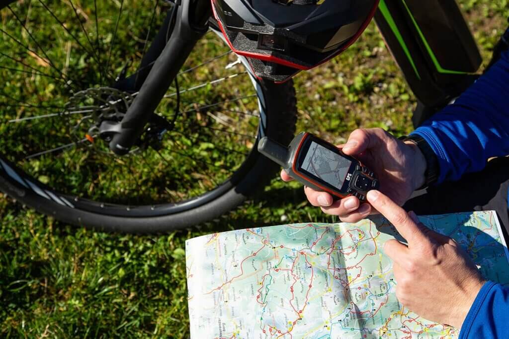
- The pre-installed maps are a very important feature, expandable via SD card.
- Spontaneous navigation to points of interest (POI) on the road is child’s play with the right map material.
- Numerous internet portals offer cycling tours for downloading and following.
The routes for which cyclists get on their saddles can be of a very different nature. For one person it is the way to work or school, another uses the bicycle to go shopping. Many also use their bike as a piece of sports equipment, whether on the road or off-road. Regardless of the type of user, there are suitable GPS bike computers for each of these uses, which make sense to purchase and significantly increase the fun of cycling.
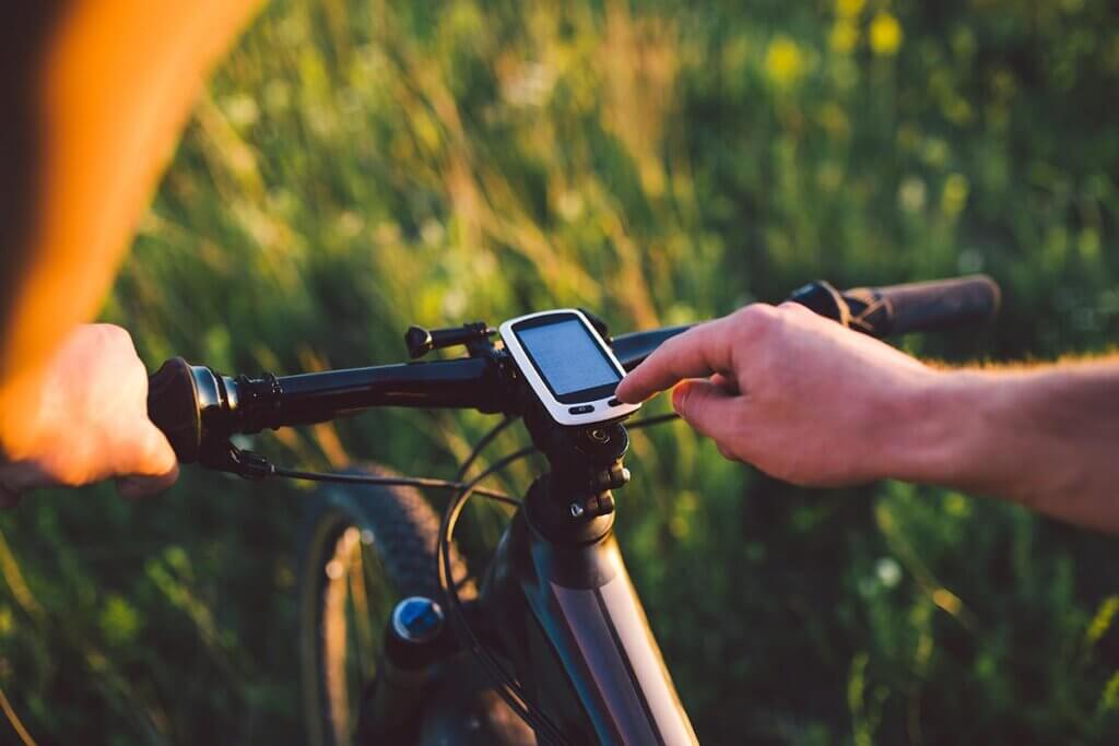
One of the advantages of special GPS bike computers is that they are always attached to the handlebars and thus visible at all times while riding. Although nowadays practically every smartphone is also equipped with a navigation app, it is annoying to have to constantly pull it out of your pocket while cycling to know what the route is. Moreover, according to the Road Traffic Regulations (StVO), it is forbidden to hold the mobile phone in your hand while riding.
Map material is usually pre-installed and optionally expandable
With many GPS bike computers, the map material is either pre-installed or can be updated and expanded. Even if you use your bike for routes you already know, you will benefit if the navigation device suggests a route that is easier to cycle: this could be a route with less traffic or a flatter route, for example. Conceivable alternatives are to offer a sporting incentive through uphill and downhill gradients, or to plan sightseeing.
In addition, most navigation devices offer functions that go beyond mere bicycle navigation and are of interest to many cyclists, especially those who are performance-oriented. These include, for example, the display of speed, cadence and distance covered. This is also important insofar as, similar to a car, certain components of the bicycle should be inspected and potentially replaced after a certain mileage.
Well-known brands
Garmin | Extrex | Sigma | Teasi | Falk
Are there any internet portals that offer route maps for download?
Yes, there are now many internet portals that offer suitable routes for download for every type of cyclist. In most cases, these can be easily transferred from the computer to the navigation device and are thus available for direct following. One platform that is very popular with touring cyclists is komoot. Here you can find cycling tours for everyone, sorted by length and difficulty. Komoot, however, divides the map into so-called regions, whereby GPS tours can only be downloaded free of charge for one region after registration. Another app that is very popular with cyclists is Strava, which also allows you to download routes for a small monthly fee. The advantage of both platforms is that the cyclist can select tours that are particularly popular with other cyclists. In this way, you can usually avoid ending up on busy roads from the outset.
The operating principle of GPS bike computers
The principle of operation of GPS bike computers is similar to that of car navigation systems. The position is determined via GPS. Some devices also offer compatibility with other satellite systems such as GLONASS for greater accuracy. Your own location is shown on the display, which is usually somewhat smaller than the car version.

There are two types of navigation that differ from each other in the way the route is displayed. These are navigation with route lines and navigation with a digital map.
Navigation with route lines
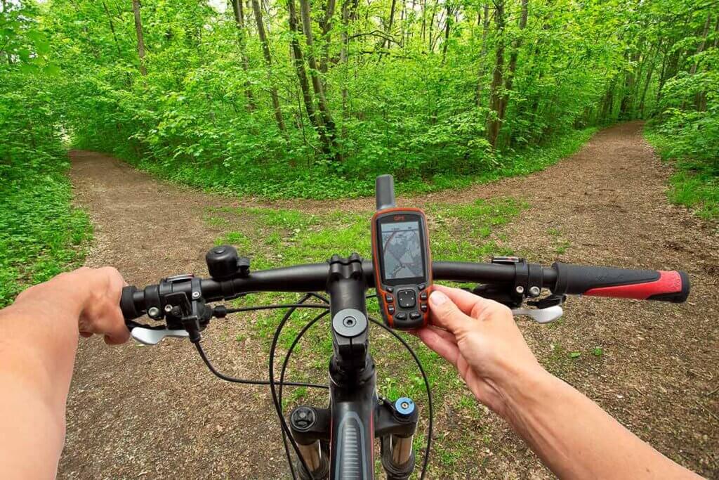
Here the selected route is shown on the display of the device by means of a coloured line. The user sees only this line and no map, i.e. no other roads around it. With navigation devices that work according to this principle, it is therefore necessary to load the complete route onto the device beforehand. It is therefore not possible to re-plan the route during the journey. Searching for destinations on the basis of an address also does not work in this mode.
The simplified display of a route has the advantage of not offering too much information at once on the already small display. The disadvantage is that the devices cannot offer spontaneous alternatives to the selected route. For example, if the displayed road is closed or impassable for some other reason, you have to look for an alternative yourself.
Pro points
- Clear due to low information density on the display
- Comparatively inexpensive to purchase
- Route data has smaller file size
Drawbacks
- Route must be loaded onto the device before driving
- Spontaneous re-planning of destination not possible
- Recalculation of the route or diversions due to a closure not possible
Navigation with a digital map
This mode of operation is similar to navigation as you may already know it from car navigation. The device calculates the route after entering a destination. Furthermore, users can choose from different route options, such as paved or unpaved roads, hilly or flat routes. In addition, the devices can point out points of interest (POI) located near the route. With navigation devices that support this type of route planning, it is also possible to retrace downloaded or otherwise previously created routes. If cyclists deviate from the route, the navigation device automatically guides them back onto the route.
Pro points
- Flexible re-planning possible
- Route optimisation in case of closures or traffic jams
- Several route options are available
Drawbacks
- A lot of information makes the display more confusing
- Higher purchase price
Different types of cycle computers
Depending on whether cycling users regard the GPS bike computer as an indispensable aid for daily training or use it as a handy substitute for a stack of cycling maps, different types of devices are available. Outdoor GPS devices that are not specifically designed for cycling can also be quite useful for cycling tours. Cyclists who also do a lot of walking or running in their free time do not necessarily need two different navigation devices.
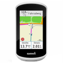
Bicycle navigation devices
GPS bike computers focus on the navigation function. Since a large display is advantageous for this, they are usually somewhat larger than, for example, GPS bike computers. The sporty performance tends to take a back seat. Instead, manufacturers place more emphasis on good readability, intuitive operation and a large selection of mounts.
The larger display also enables a more detailed map display. The maps stored in these devices generally have more information than those of cycling computers with GPS. As is familiar from car navigation devices, interesting waypoints such as viewing platforms, restaurants or rest areas are often recorded here. Basic speed values such as speed, distance and travel time can of course also be displayed by the bicycle navigation devices. It is possible to plan round trips with a selectable distance.
Pro points
- Large, easy-to-read display
- Route can be adjusted on the move
- Additional functions especially for cyclists
- Also suitable for hiking
Drawbacks
- Large dimensions make device unwieldy
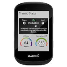
GPS bike computer
This type of device is mostly used by cyclists who need a reliable tool for training analysis. Popular here, for example, is the Edge series from Garmin. The Bold devices from the American manufacturer Wahoo are now also very widespread in the cycling scene. In addition to recording GPS data, the bike computers display other information such as speed, cadence, pulse and power.
In combination with an app, the data can be visualised on the smartphone after the training sessions. Several training platforms on the internet, such as Strava or TrainingPeaks, also display this data and allow you to share it with other athletes or trainers.
Pro points
- Suitable for performance recording
- Wide range of functions
- Compact dimensions
- Wide range of models
Drawbacks
- Small display makes reading difficult
- No route display
- Spontaneous re-planning of destination and route not possible
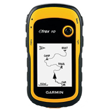
Outdoor GPS devices
GPS devices for outdoor use are suitable for many different activities: Whether walking, hiking, cycling or kiting: the user can narrow down suggested routes according to certain selection criteria. The models can be adapted to the preferences of these user groups and accompany hikers, for example, on mountain tours that would not be suitable for walkers and cyclists due to the topography.
The GPS reception of these devices is in many cases somewhat more stable than that of other navigation devices because outdoor GPS devices are designed for use in alpine terrain. Functions such as a compass and sophisticated route navigation are among the characteristic features. Songs not all models have important accessories such as a bike mount.
Pro points
- Very stable GPS reception
- Suitable for different user groups
Drawbacks
- Not all models offer a bike mount
Are wearables like sports watches also suitable for cycling?
Multifunctional devices include sports watches with GPS function, such as those available from some cycling computer manufacturers. Garmin, Polar and Sigma, for example, are among the better-known suppliers. To ensure easy readability while riding, you can simply attach the watch to the handlebars, and there are already special holders for this purpose. These watches are not only suitable for cycling, but also for hiking, running or in some cases swimming. Basic training functions are available here. By connecting to an app, the user can read out his or her training data and, if necessary, save new routes on the watch. Due to the small display, however, navigation requires a certain amount of practice and cannot be compared to the comfort of larger navigation devices.
Important criteria for buying a GPS bike computer
As the name suggests, navigation is by far the most important function of a bicycle navigation device. How well it works in practice determines to a large extent how much fun the cyclist has with the device. After all, the user doesn’t just want to get from A to B, but to do so as safely as possible, and potentially even on a new, unknown route. However, it spoils the pleasure if useful functions have to be searched for in the menu. The readability of the display and the battery life are also important criteria.
Operation
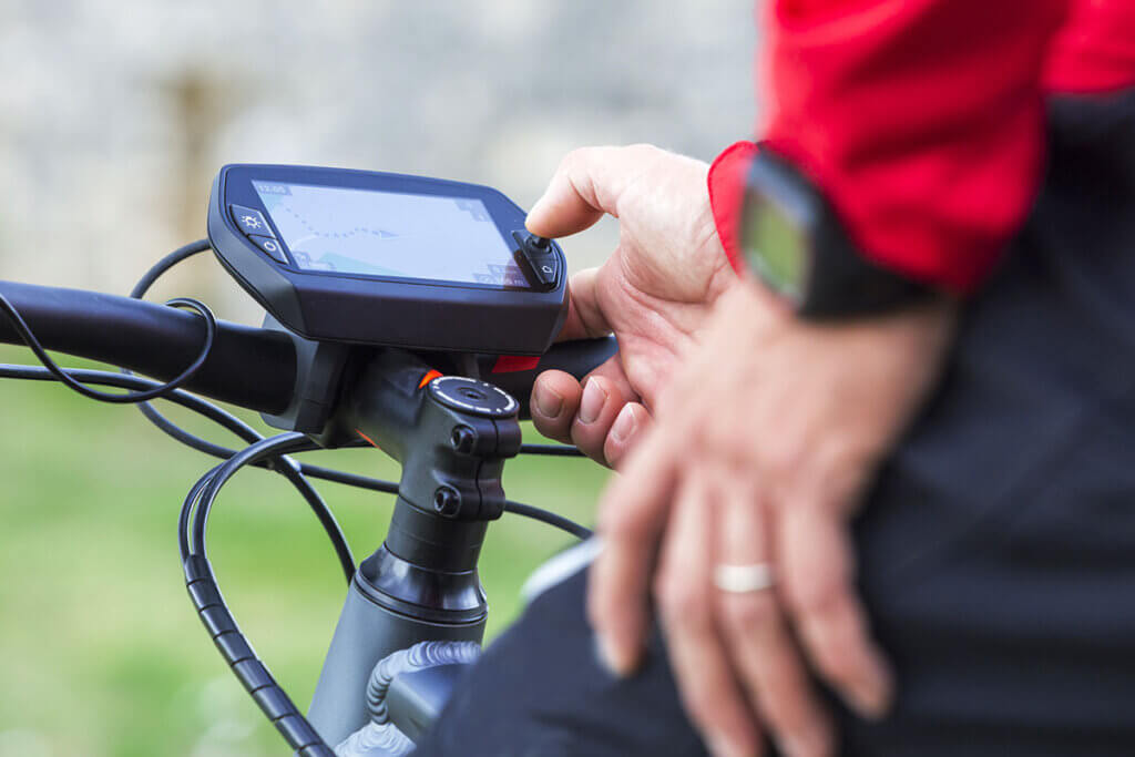
GPS bike computers should be easy to understand and intuitive to use. Almost all bicycle navigation devices with a large display have a touchscreen, which allows direct access to the. Another question is whether it is possible to create new routes with the device itself, also via the app or, for example, only with the computer. The same applies to transferring data from the navigation device to other devices such as PCs, tablets or smartphones. A stable and adjustable holder also provides plus points for ease of use.
Navigation
Navigation with a bicycle navigator is based on three individual components. The first is satellite reception, followed by the available map material and the route display. Good devices offer a choice of different route profiles. This includes the choice of road surface, such as gravel or asphalt. In addition, there are other aspects such as the degree of difficulty or the number of metres in altitude. In many cases, cyclists do not want to ride along one route, but rather undertake a circular tour. Many GPS bike computers can create a selection of tours from the key data entered, including the planned number of kilometres and riding time.

Before buying a navigation device, it is important to check whether it comes with pre-installed maps. If these are not available, they may have to be purchased separately. Not every device is compatible with the free map material of providers such as OpenStreetMaps.
A look at the manufacturer’s user forums certainly can’t hurt either, especially if you want to find out how reliably the route planner works. Is it possible that the device directs users to a staircase or that they suddenly find themselves in front of a forest path on their racing bike? If such problems occur, buyers usually exchange information and suggest possible solutions.
In addition to the visual map display, some bicycle navigation systems also offer an acoustic voice announcement. Since the speed of cycling is much slower than that of driving, prolonged glances at the display are generally not such a safety risk. For this reason, voice output is not available on all devices.
What are the different satellite systems?
For greater reliability, some navigation devices support multiple satellite systems. In 2000, the civilian use of the GPS (Global Positioning System), which was conceived for the purposes of the US military, was released. The GPS system is standard on all devices; in addition, some models can also access the Russian system called GLONASS. Europe has also developed its own satellite network, Galileo, to which newer devices also have access. In general, the more satellites that can locate the navigation device, the better, more precise and also more fail-safe the positioning will be. The shortcoming, however, is that the more satellite networks communicate with the navigation device, the faster the battery is used up.
Display
The characteristics of the display are brightness and size. One thing is clear: the brighter the environment, the brighter the display must be set. However, a high display brightness has a negative effect on battery life. High-quality GPS bike computers can adjust the brightness to the environment in an automatic mode.
The larger display compared to a GPS bike computer not only means that the user can better recognise the displayed elements, but also leads to a simplified operability of the touchscreen. The larger the screen diagonal, specified in inches, the easier it is for the user to read while riding.
How long does the battery of a bicycle navigation system last?
This is a crucial question for many prospective buyers. After all, no one wants to be annoyed when the device runs out on a long bike ride. Unlike outdoor GPS devices, there are hardly any models that run on batteries. Moreover, the batteries are almost always permanently installed. A runtime of 12 to 15 hours is already considered very good. However, the battery life also varies greatly with the type of use. If the user often deviates from the planned route, forcing the device to constantly recalculate, the runtime is shortened. The brightness of the display is also a decisive factor. Practically all devices are therefore equipped with a function that switches off the display after a set number of seconds if desired, as is also the case with smartphones. A Bluetooth connection that is switched on while driving also shortens the operating time.
Weight
Unlike racing cyclists, for whom every gram counts, the weight of a bicycle navigator is rather negligible for touring cyclists. Usually, the product weights here range from 100 to about 400 grams.
Installation
Most devices first need to be plugged in for a few hours to fully charge the battery. Additional map material can be installed via a micro SD card or via the manufacturer’s app. Firmware updates are also loaded either via a computer connected via USB cable or a smartphone connected via Bluetooth. This is important not only for operational safety, but also to keep the map material up to date.
The installation of a speed sensor, which used to be common with bicycle speedometers, is not necessary with navigation devices, as speed is also measured via GPS.
Splash water protection
Since the GPS bike computer is exposed to all kinds of weather while on the road, the models must be able to withstand at least the occasional rain shower. A category from IPX4 (splash-proof) to IPX7 (completely waterproof) indicates the degree of protection.
Storage capacity
Similar to smartphones, many bicycle navigation devices have an internal and an external memory. The external memory usually has a microSD card slot, which the user uses to provide the device with the map material for navigation. In addition to the device’s firmware, the internal memory stores the individual routes travelled. Depending on the model, the navigation device also stores the routes created externally on the smartphone or PC in this location. To keep the operating speed of the device high, it is recommended to regularly delete unused routes and activities.
Additional features
More accurate than altitude determination via GPS is barometric altitude measurement, which measures the air pressure at the respective location and also determines the air temperature. An electronic compass determines the position by recognising the earth’s magnetic field. The circuit function creates tours based on predefined key data such as kilometre length and route profile and, in the best case, offers several alternatives.
To import and export routes successfully, connectivity via Bluetooth or USB is required. Practically every manufacturer offers a smartphone app that enables synchronisation of the navigation device. When connected to the computer via USB cable, the battery of the navigation device also charges automatically.
Speedometer functions such as cadence and speed are part of the standard programme. For this, however, it is necessary to mount special sensors on the bottom bracket and spokes.
Bicycle sat navs with a spare battery are an absolute rarity. Cyclists who are on the road for so long that they fear the battery charge might run out before they get home should look for a powerful power bank.
In order to protect the housing, many models are available with suitable covers, usually made of silicone. The buttons remain accessible. A similar function is fulfilled by protective films that protect the display from ugly scratches.
Users who want to take their pulse on medical advice or for self-monitoring can use a pulse belt. This also makes it possible to determine the calories burned while riding.
In order to enjoy your bike navi for as long as possible, regular care is essential. The user manual contains more detailed instructions on how best to clean the device. Of course, to get a good grip on every part of the device, it must first be removed from its holder. Then a slightly damp microfibre cloth is usually sufficient; for the display, for example, eyeglass cleaning cloths have proven effective. If the navigation device is not going to be used for a long time, it is advisable to store it in a dust-protected case.

To ensure that the holder always grips properly, the user should also check it regularly for dirt particles. It is also advisable to check the fastening screw of the holder once or twice a month, depending on use, to avoid unpleasant surprises when travelling.
Fig. 1: © Markus Bormann / stock.adobe.com | Fig. 2: © Elizaveta / stock.adobe.com | Fig. 3: © mmphoto / stock.adobe.com | Fig. 4: © Elizaveta / stock.adobe.com | Fig. 5: © Markus Bormann / stock.adobe.com | Fig. 6: © emerald_media / stock.adobe.com | Fig. 7: © Elizaveta / stock.adobe.com | Fig. 8: © Mihail / stock.adobe.com